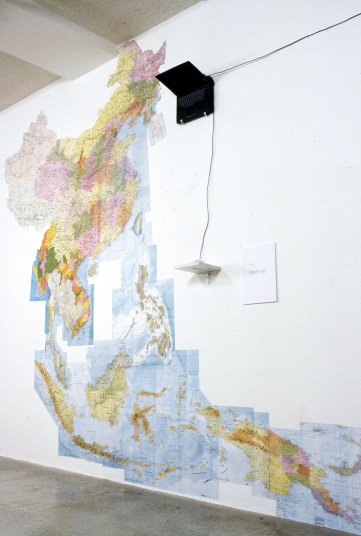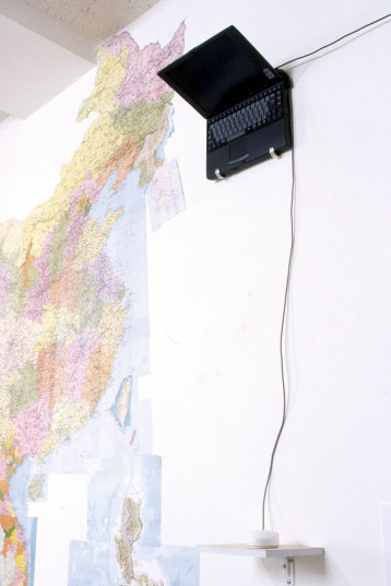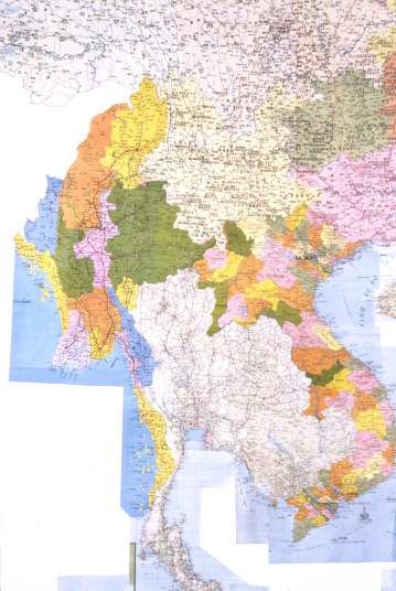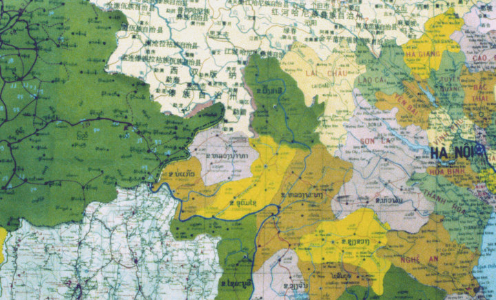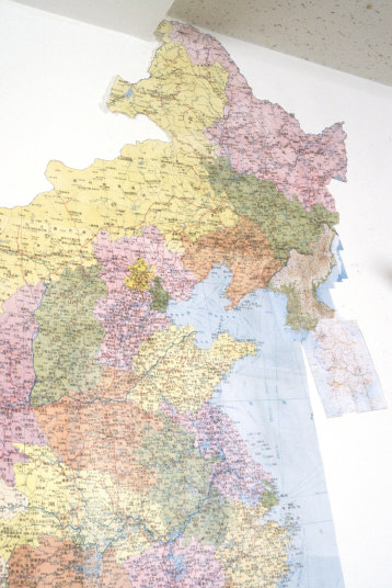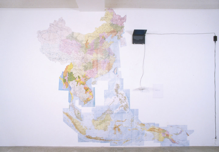
| The countries which was invaded or might have been invaded@ Akiyama Gallery 1999@ These maps are indicated in each of these own languages. They are the selected maps of countries where Japanese Army invaded, or would have been invading in the World War U. Each of them is pasted together for reconstitution after they were fitted to the scale and were cut out along the borderlines. The space of the wall where Japan should be is put a note PC on. When someone touches the mouse, the screensaver is canceled and we can see a blank map of Japan on this screen. And now, many different sorts of Japanese companies are jumbled up close together. So it seems to be unable to be separated these countries of the same economic block for our living. How can we feel these indications? According to the history text, the invaded sphere was showed by only broken line on blank map, and I learned about it without having any doubt when I was a high school student. Opposing that pattern is framing a hypothesis. What is the way to communicate one another to get the common languages we need? What should we write in blank map? Map size/ w4 X h2.8m material/Paper Included countries /China, North Korea, South Korea, Taiwan, Vietnam, Indonesia, Laos, Thailand, Cambodia, Myanmar, Philippines, Malaysia, Singapore, Brunei, Papua New Guinea, Note style personal computer and special mouse [It has no click button]. Close this window ˋBack to "Work" |